
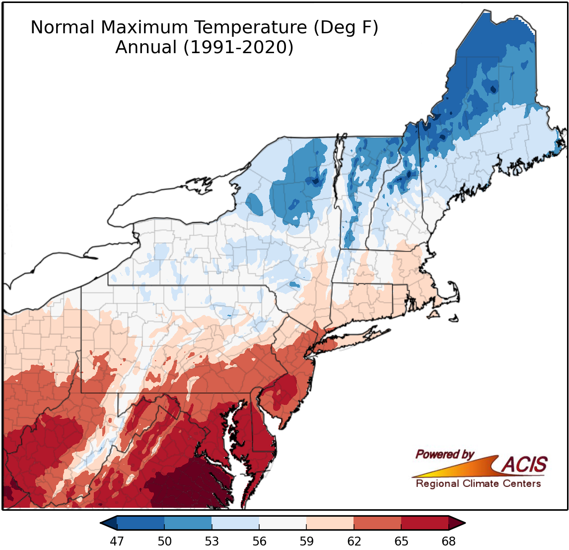
Variable to map:
About Climate Normals Maps
Climate normals are an arithmetic average of a variable such as temperature over a prescribed 30-year period. This base period changes every 10 years to reflect the previous 30 years of data. To view maps for individual states or other parts of the country, visit the Gridded NCEI Normals Mapper. For more information on climate normals, view the National Centers for Environmental Information's Climate Normals page.