New High-Resolution Daily Observation Maps
Here’s a look at our new hi-res maps!
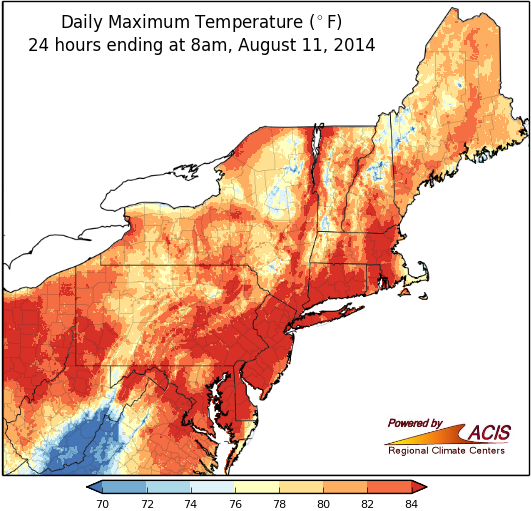
You can find our new high-resolution maps on our Northeast Maps page. You can view daily observations for maximum and minimum temperatures and precipitation for the last seven days. The maps represent daily observations from the National Weather Service (NWS) Cooperative Observer Network and are updated at 12:45pm, 2:45pm and 4:45pm for the current day and redrawn at 12:45am daily for each of the previous seven days.