CoCoRaHS Wants You!
Observers report their daily precipitation total, which then get mapped and shared on the CoCoRaHS website.
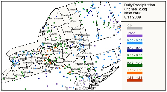
The August 11, 2009 rainfall totals shown above are courtesy of the Community Collaborative Rain Hail and Snow network (CoCoRaHS). CoCoRaHS is a nationwide, community-based network of volunteers of all ages and backgrounds working together to measure and map precipitation (rain, hail and snow). By using low-cost measurement tools and utilizing an interactive web-site, CoCoRaHS volunteers provide high quality data for natural resource, education and research applications. In addition, the network has been especially useful to National Weather Service forecasters in tracking precipitation from localized storms and issuing flash flood warnings. New volunteers are always welcome, especially in under-represented areas. See the coverage in your state and learn more about the program by clicking here.